Tahoe Summer Activities
Tahoe Hikes and Trails

North Lake Tahoe
Top of Page
Donner Peak Trail
The trail starts where Donner Pass Road crosses the Pacific Crest Trail, 0.4 miles past the Old 40/Rainbow Bridge when going up Donner Pass Road from Donner Lake. You will see a parking lot on the left and some buildings. Parking is not allowed in the lot, but you can park on the street. Follow the road behind the parking lot to the Donner Peak Trailhead, you will see the Pacific Crest Trail zig-zagging up the mountain to your left. Follow the trail 0.8 miles until you almost cross under the ski chairlift where a trail will cut hard left, almost a making u-turn. Follow this trail another mile and you will be at Donner Peak.
Eagle Rock Hike
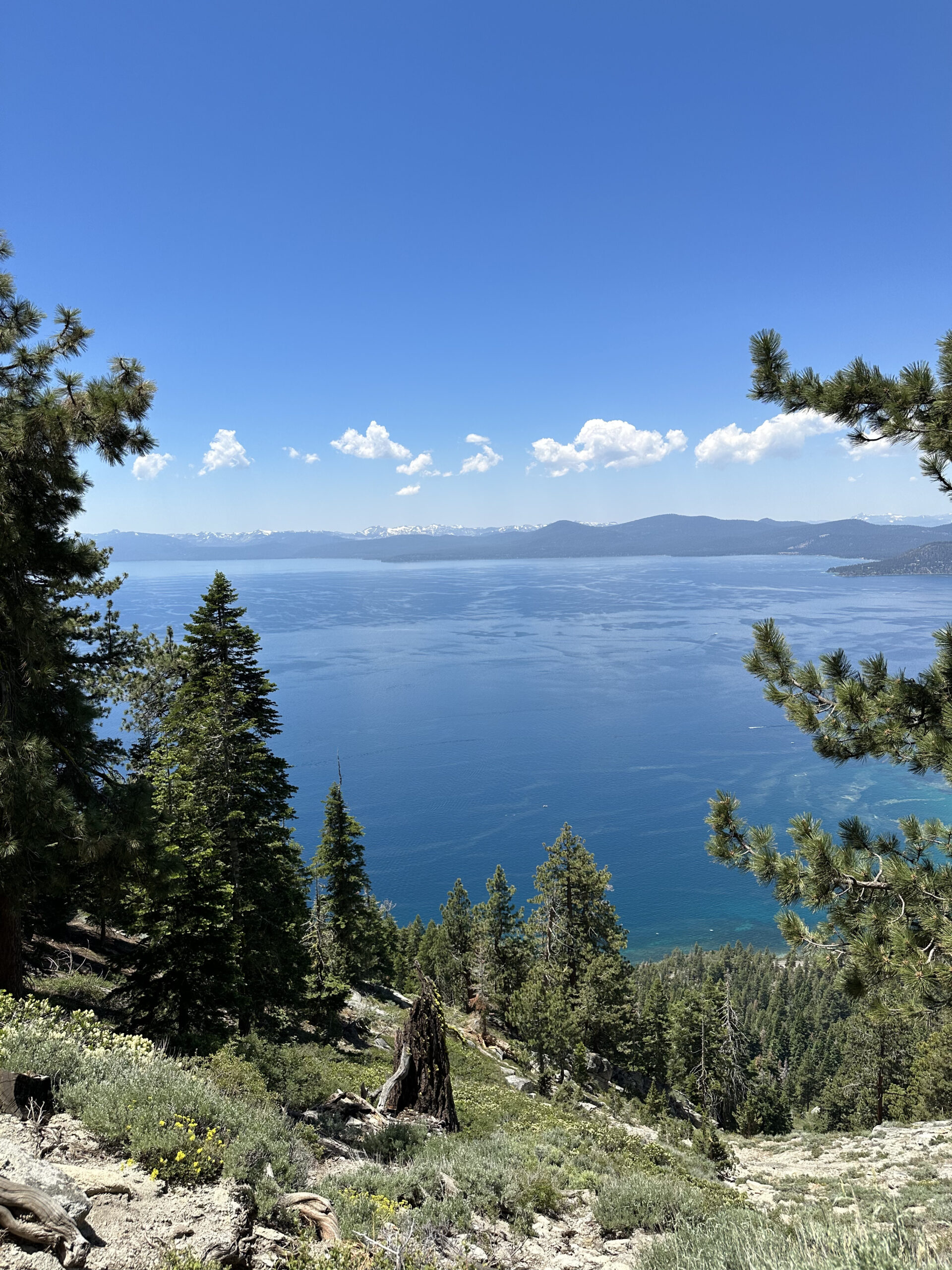
Located on Highway 89, 4.7 miles south of the traffic light in Tahoe city, this half mile hike takes you up 200 vertical feet to one of the most spectacular views of Lake Tahoe. The trailhead can be found by searching for “Eagle Rock Hiking Trail Homewood” on Google Maps.
Ellis Peak Trail & Ellis Lake
Looking for a good workout and great views of Lake Tahoe? This is the trial for you! This is a 6.9 mile out & back trail that has a steep rocky terrain with access to the Tahoe Rim Trail. Directions – From Tahoe City, take Hwy 89 west, traveling south. Turn at the sign Kaspian Recreation Area/ Barker Pass Road. This road is paved all the way to Barker Pass and will take about 20 minutes. It is a single lane so drive slow. You will likely see road bikers riding to the top as well. The trailhead is signed and located on the left just as the road turns to gravel, the Ellis Peak trailhead is before the Tahoe Rim Trailhead.
Five Lakes Trail
Called one of the best short day hikes in California, the Five Lakes Trail takes you 2.5 miles and 1000 vertical feet into Granite Chief Wilderness. Nestled in the center of Alpine valley (formaley known as Alpine Meadows and Squaw Valley), the trail to these 5 scenic lakes starts at the corner of Alpine Meadows Road and the 2nd (Upper) Deer Park Drive. Google search Five Lakes Trail for directions.
Lola Montez Lakes Trail
Lower Lola Montez Lake is a classic small High Sierra lake, nestled in a forested, shallow granite basin, adorned with boulders perfect for diving or sunbathing, and populated with rainbow trout. The hike to the lake is a moderate out and back, about 6 to 7 miles round trip, and dogs are welcome. The elevation gain is about 700 feet.The trailhead is accessed from the I-80 Soda Springs exit. Upon exiting, head North of the freeway, and take the road that runs east past the fire station. The road will dead end after about a quarter mile. Park on the street (check signs for parking restrictions) and the trailhead will be marked on the north side of the road.The trail begins in shaded woods, and after less than a mile emerges onto a gravel road which is more exposed. At about 1.75 miles from the start, keep an eye out for a marked right hand turn which takes you off the gravel road and through the most challenging part of the hike. The trail is used by mountain bikers as well, and connects to “Hole in the Ground”. After some elevation gain, the trail takes you onto a gravel road once again. Follow the gravel road and you’ll come to a sign directing you back onto a more wooded trail which eventually drops you down at Lower Lola Montez Lake.The lake is surrounded by trees and exposed boulders that make great spots to set up a picnic. Looking to keep your fellow hikers entertained as you make your way to the lake? Find out more about Lola Montez’s fascinating story here.
Mount Rose Summit Trail
The Mount Rose Summit Trail is a strenuous 11 mile round trip that climbs nearly 2000 vertical feet to one of the highest peaks near Lake Tahoe and offers spectacular panoramic views of the lake and Reno. The first 3 miles of trail meander through a forest full of Lodgepole Pine, Mule Ears and Sagebrush. A meadow at the halfway point bears Lupine, Paintbrush and Larkspur. The last two miles follow slippery switchbacks to the ridge line. Don’t forget to sign the log book when you make it to the top! To get there take Hwy 431 (Mt. Rose Hwy) north from Incline Village. Park at the lot at the summit of Hwy 431 (left side when coming up from Incline Village). Trailhead will be behind the bathrooms when walking back towards the lake from the parking lot.
Shirley Canyon Trail
The Shirley Canyon Trail is a moderate/strenuous yet very rewarding hike from the base of palisades Tahoe up to High Camp. It starts along beautiful Squaw Creek as you pass along clear pools and rushing waterfalls of freezing snowmelt. Rising 2000 vertical feet in just under 4 miles, the trail takes you by Shirley Lake, a perfect place to take a dip on a hot summer day. From there you are just a short distance from High Camp, where hikers are rewarded with a bar, restaurant and a complimentary ride down on the tram! If you wish to experience high alpine scenery but prefer an easier walk, you can buy a ticket and take the tram up to High Camp and walk around from there. The Shirley Canyon trailhead is located at the end of Squaw Peak Road.
Truckee River Legacy Trail
The Truckee River Legacy Trail follows the river’s south side, providing scenic views and access to two recreational amenities: Truckee River Regional Park and Riverview Sports Park. The paved trail has recently been extended from the latter park to Glenshire Drive via a bridge over Martis Creek. In the future, a westward extension to the trail will provide additional recreational access to Donner Memorial State Park. This trail is very popular for bikers, runners, dog walkers and families.
Parking Trail and Access:
The trail currently runs between the Truckee River Regional Park and the Glenshire Trailhead. The trailhead is located just before the Glenshire neighborhood on Glenshire Drive, approximately 4 miles east of Donner Pass Road. The trail meanders along the Truckee River for 4.7 miles, passing spurs to Riverview Sports Park and Ranch Way. Overall the trail is easy and good for all ages, however there is a steeper section of trail as one leaves the Glenshire Trailhead and descends down to the Truckee river that some users may find a bit more strenuous upon the return.
Dog Friendly:
The trail is pet friendly. However, please keep your dog, leashed or unleashed, under control at all times. Multiple pet waste station along the trail provide for an easy clean up.
Top of Page
South Lake Tahoe
Top of Page